A Snow-Shadow Snow Event
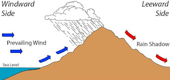
You have all heard of a rainshadow.
Air approaching a barrier rises on the windward side, producing lots of precipitation, while air sinks on the lee side, causing drying and a lack of rain (see graphic).
On Thursday, we are going to have a profound snow-shadow situation for large portions of the western Washington lowlands, particularly around Puget Sound, and snow lovers like myself are going to be disappointed.
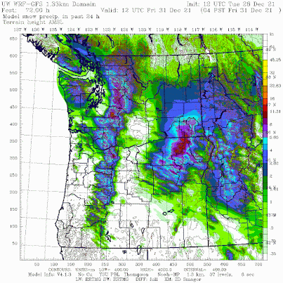
Below is the latest super-high resolution UW snowfall forecasts for the 24-h ending 4 AM Friday morning. Light green is less than an inch, while purples and darker colors indicate more than 6 inches.
Plenty of snow on the windward (western) sides of the Olympics and Cascades. Bellingham is going to be snowed in! But little around Puget Sound and virtually nothing from north Seattle to north Kitsap. No snow near Yakima on the eastern side of the Cascades.

So why so little snow around Puget Sound? The problem will not be the temperature--it will be cold enough to snow. The problem will be a lack of precipitation.
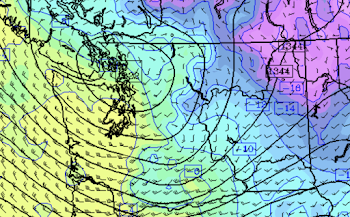
And that deficiency is due to the orientation of the winds in the lower atmosphere, which will be from the northwest, resulting in downward flow on the lee side of the Olympics.


Comments
Post a Comment