Marvels of Fog and Low Clouds
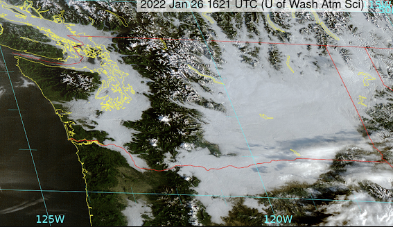
Like many days this week, this morning dawned with low clouds and fog trapped under an inversion (see image for this morning). Eastern Washington and interior western lowlands were pretty much covered in a thick blanket of white.
But although low clouds might seem unremarkable, there are subtleties to the observant eye that reveal much about our local meteorology. And there is beauty there as well.
Take sunrise. The visible satellite image taken just as the sun was coming up reveals the long shadow of Mount Rainier extending over the low clouds, like a dagger pointing to the northwest (see below).
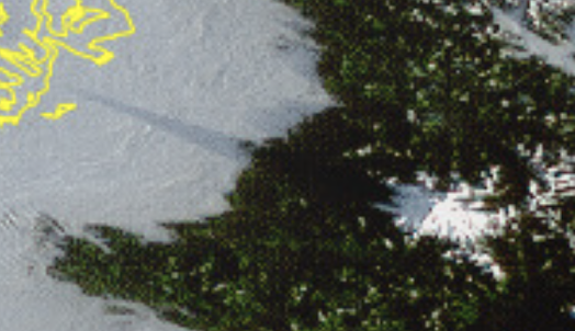
The tip of the point is just south of Tacoma.
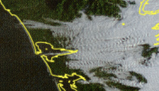
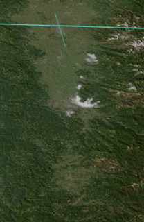
And then there are the tendrils of fog moving up river valleys. For example, higher pressure in eastern Washington is pushing fog/low clouds westward into Snoqualmie Pass and Steven Pass. A good reason to take the lifts to the highest slopes available.
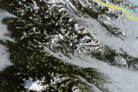
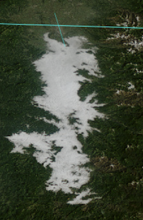
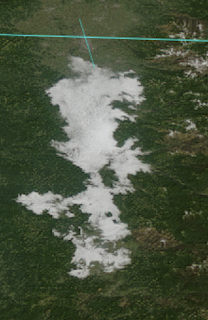
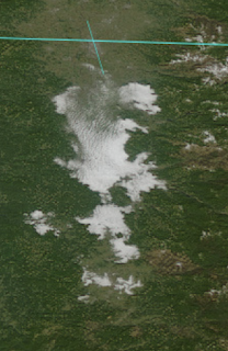
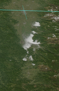
And satellite imagery reveals how fog burns off...something we didn't know about until we could view it from space. Fog burns inward from its edges.
You want to see? Check out the imagery below for the Willamette Valley at 10 AM, noon, 1, 2, and 3 PM.
And perhaps the greatest treat is to hike above the low clouds into bright sunshine and to view the spectacular from aloft. My plan for Saturday morning!


Comments
Post a Comment