Unstable Air Today with Potential Thunderstorms
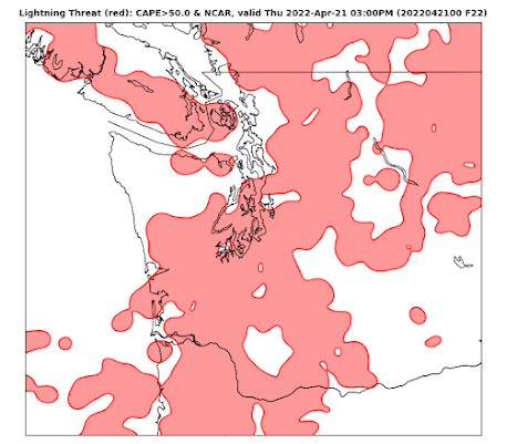
Middle spring is a very unstable time for the atmosphere over the Pacific Northwest.
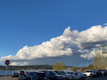
What do we mean by unstable? It means that parcels of air displaced upwards will tend to accelerate skyward for a time, resulting in the production of cumulus clouds...and even thunderstorms (see pictures below taken on Tuesday in Seattle to see what this looks like).
Instability is related to the decline in temperature with height, with larger temperature decreases with height producing a more unstable atmosphere. Spring, when the surface is being warmed by a rapidly stronger sun while the atmosphere above is still cool from winter, is the time of largest instability.
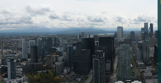
The atmosphere is already starting to percolate this morning with small cumulus clouds forming around Puget Sound (see Seattle PanoCam below)
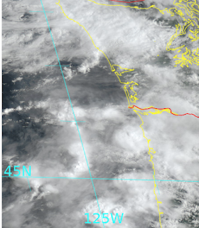
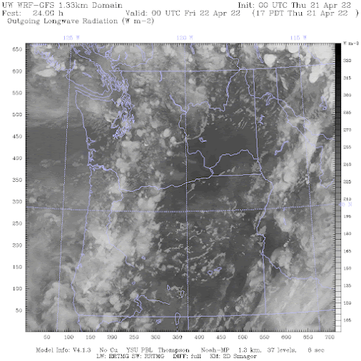
And a visible satellite image earlier this morning shows some impressive cumulus/cumulonimbus development approaching the northern Oregon coast:



Comments
Post a Comment