Monsoon Thunderstorms Across the Region
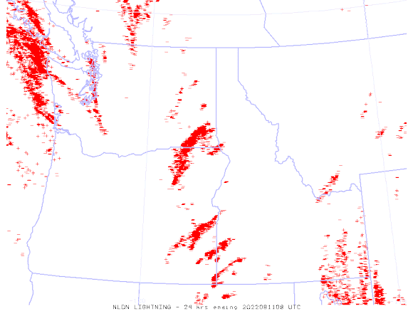
The movement of moist, unstable Southwest Monsoon air into the Northwest did not disappoint: as shown by the 24h lightning map ending 1 AM this morning, many hundreds of lightning strokes were observed over the region.
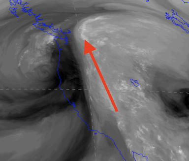
The monsoon moisture plume...directed from the desert southwest..was evident in the water vapor satellite image from yesterday morning (5 AM Wednesday)
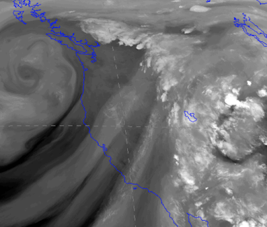
Today the moisture plume has slowly shifted eastward (see satellite image from tonight).
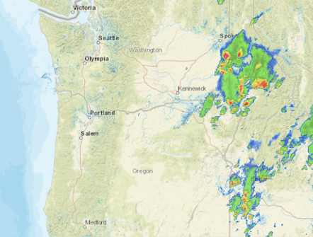
As a result, the only thunderstorms this afternoon in our area were located over the far eastern side of Washington and Oregon (see radar image from tonight). Some of them had heavy rain or hail (red colors).
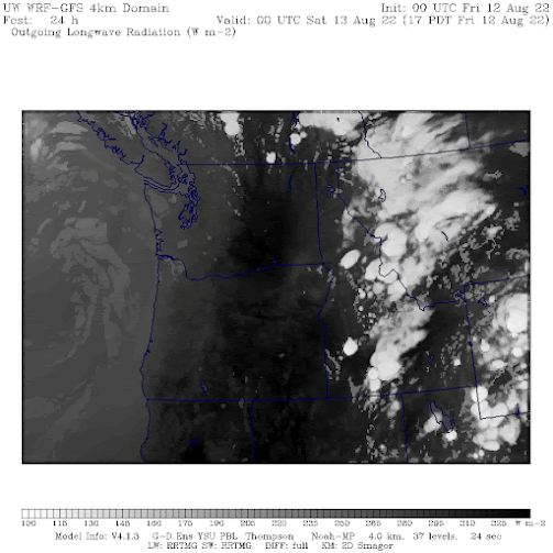
According to the latest model run, the monsoon moisture and associated thunderstorms will move even farther eastward tomorrow, with the forecast for 5 PM Friday showing the thunderstorms over Idaho and eastern Monday (see below)
A dry weekend is ahead with warming temperatures!


Comments
Post a Comment