Warm For A Few Days Then Cooling with Showers
Climatologically, we are now moving past the climatologically warmest time of the year, as the weakening sun and shorter days finally start taking their meteorological toll.
And during the next few days, we will experience substantially warmer than normal high temperatures, but comfortable temperatures at night.
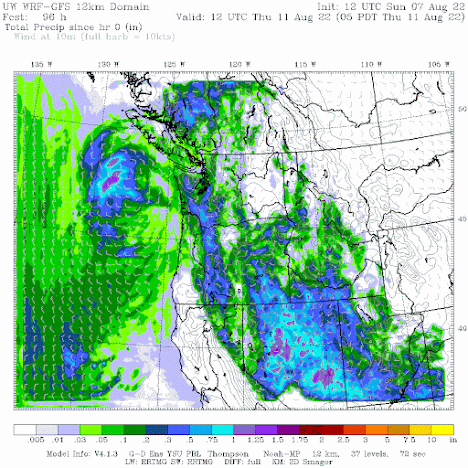
But on Wednesday, both cooling and showers will move in, with the side benefit of helping to get control of a few local wildfires.
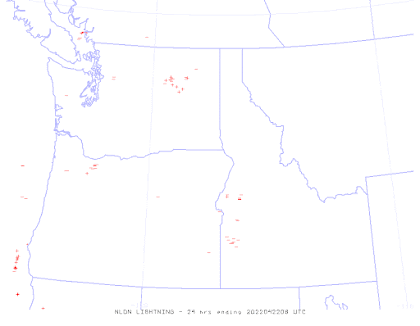
The visible satellite image this morning shows clear skies, but some smoke from the Vantage grass fire, and the northern extent of a lightning-caused fire in the central Oregon Cascades (the Cedar Creek Fire). There is also a small fire in south-central BC.

It has our name on it.
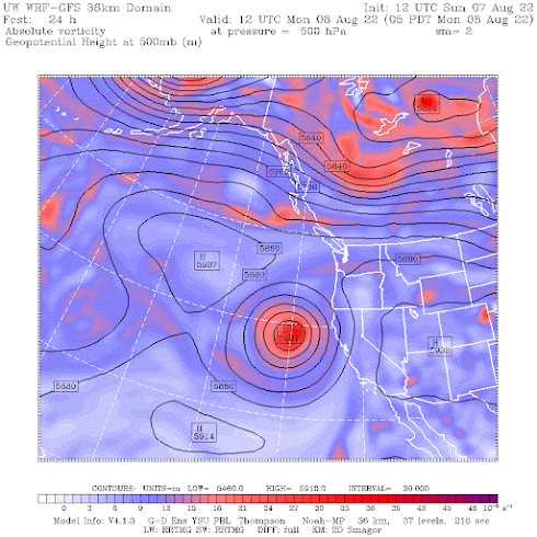
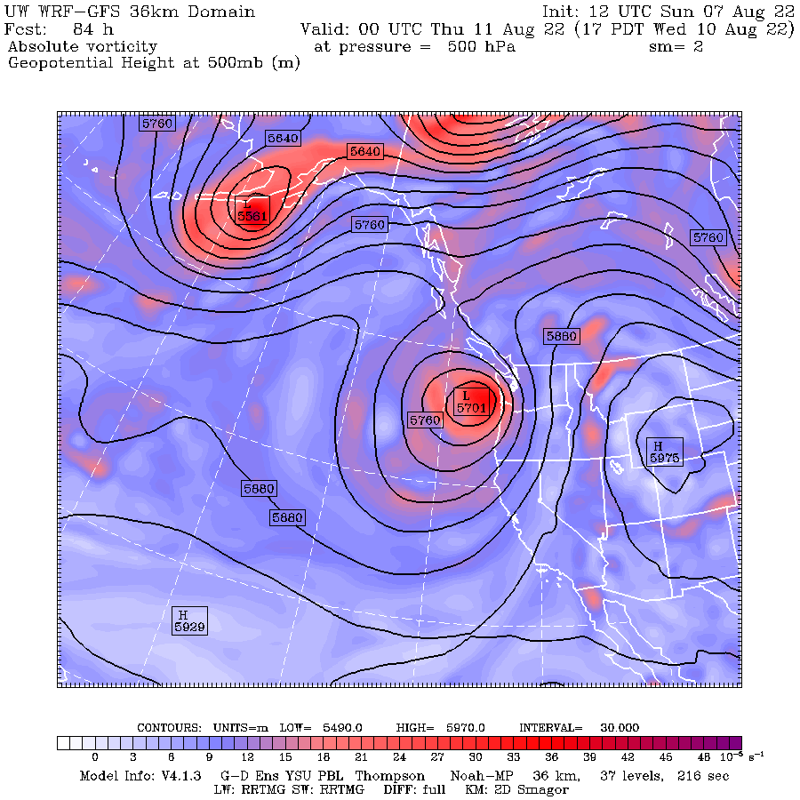
By Wednesday at 5 PM, the low will approach our coast with the inland ridge retreated eastward. Think cooler. And wet.
The latest National Weather Service National Blend of Models, a statistical approach that derives information from many models and observational inputs, suggests that in Seattle the highs will rise to the upper 80s today and tomorrow, decline modestly on Tuesday, and then plummet to 75 on Wednesday, followed by around 80F for the remained of the week.
Lows will be around 60F each night, so evening cooling should be good.


Comments
Post a Comment