The Rain Cometh
The number one question I have been asked the past few weeks is certainly this: when will the rain return?
And I can answer that now: the middle of this week.
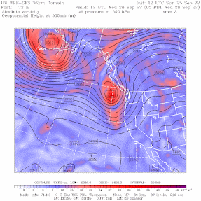
Today was another nice warm day, with the origin being a strong upper-level ridge over the West Coast (see upper level map at 5 AM this morning, below). Yes, another ridge.

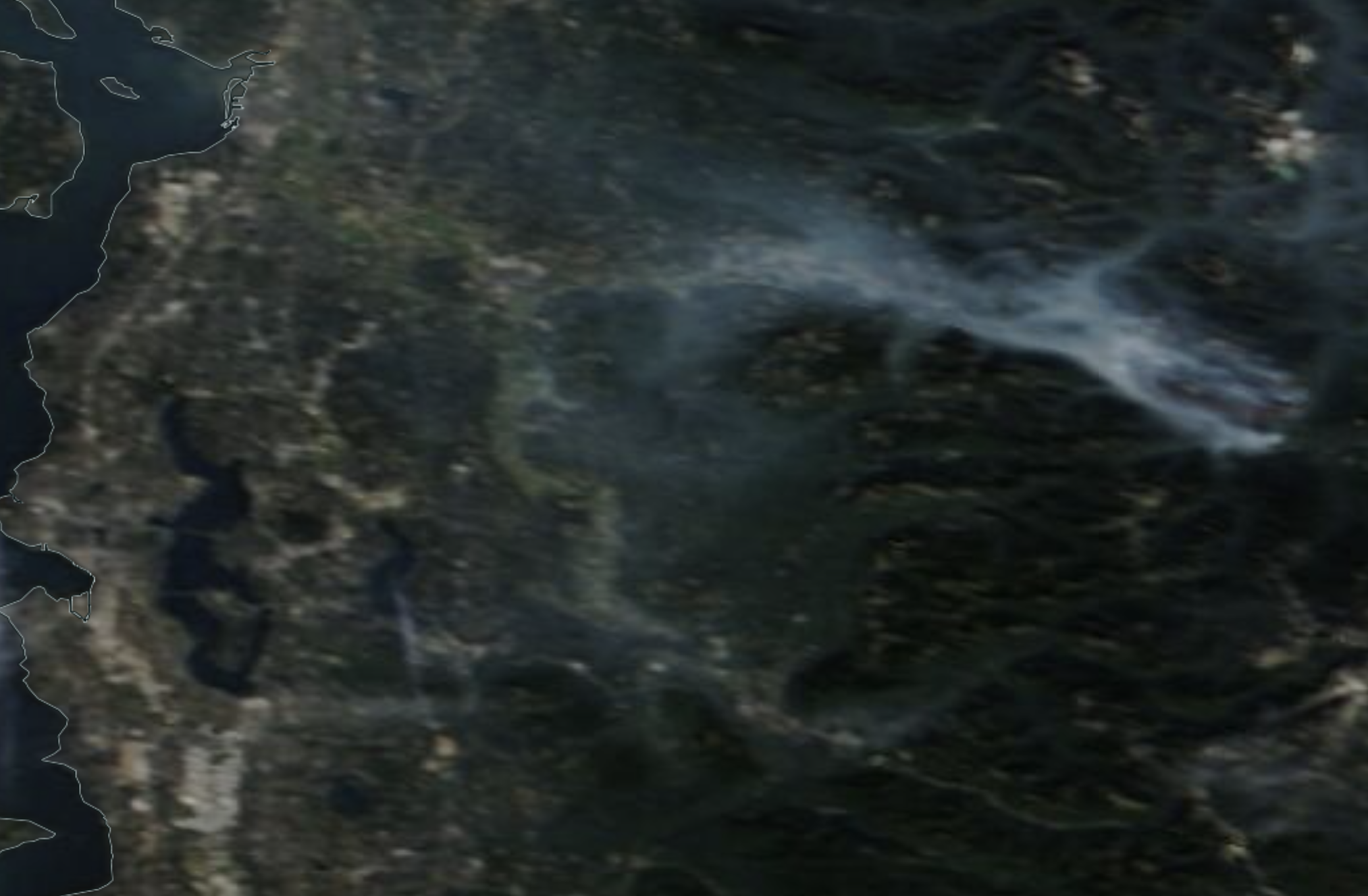
This ridge was associated with low level easterly flow that pushed more of the smoke from the smoldering Bolt Creek fire into some communities on the eastern side of Puget Sound country (see noon satellite image below)
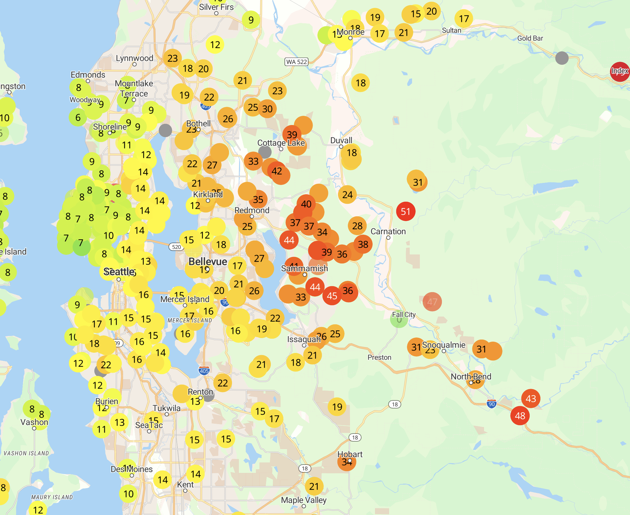
You can view the air quality implications wutg the Purple Air map around 3 PM (orange and red are worst). Not as bad as last week, but some haze is apparent on the east side. Some have smelt smoke.
Tomorrow will be the last warm day in the sequence. Everything changes on Wednesday, as a moderate upper-level trough moves in (see upper-level map at 5 AM Wednesday). And it won't be the last.
Light rain is forecast for Wednesday into early Thursday, with much cooler temperatures. The map below whows the 24-h totalys ending 11 AM Thursday. Typical early fall precipitation event.


The summer has been drier and warmer than normal, something I will discuss in a subsequent blog. Enjoy the warmth while you can....


Comments
Post a Comment