Wildfires and Temperatures Surge With Strong Easterly Flow
I was worried that this could happen.....
Powerful easterly (from the east) winds developed yesterday and this morning.
As they descended the western slopes of the Cascades, the air warmed and dried.
As a result, preexisting fires revved up (e.g., the Bolt Creek Fire near Skykomish, the Suiattle Fire near Arlington) and some potent new fires were initiated (the Loch Katrine fire east of Duvall and the Nakia Creek fire northeast of Vancouver, WA).
The latest visible satellite image shows these fires (red arrow for Nakia Creek and blue arrow for the Loch Katrine fires).


Temperature is a different story. Where the warm, dry, subsiding air above mixes to the surface, temperatures have become crazy hot.
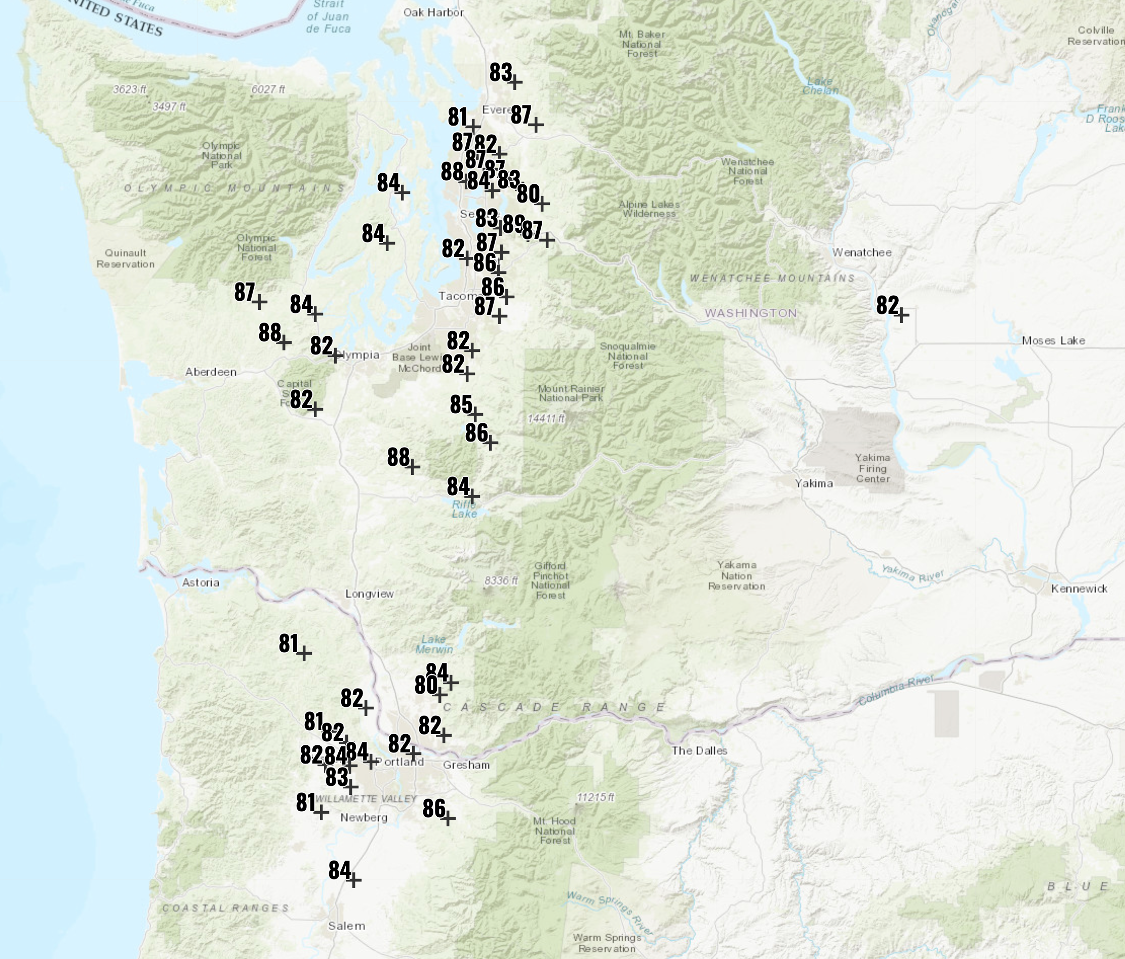
At 1 PM, a number of locations in our region (mainly just west of the Cascades) are in the 80s, with some IN THE UPPER 80S. (map at 1 PM below) A few "lucky" locations will get to 90s this afternoon.


Comments
Post a Comment