Cold and Some Lowland Snow Arriving This Weekend
We have roughly another month remaining of meteorological winter, and mother nature will not be letting us transition to spring without another taste of cold and snow.
The cold is for sure, including a hard freeze over the region.
The snow forecast is less confident--but it does look like either the Washington or Oregon western lowlands will see the flakes--the question is which one.
The movement of cold air into the Northwest has another implication: substantial additional precipitation for a sodden California.
The Cold
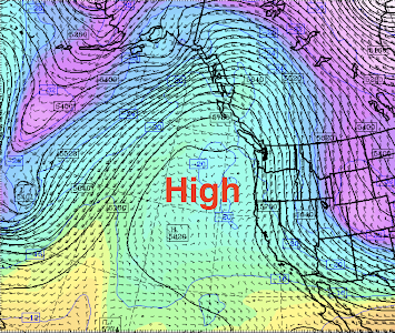
For Wednesday and Thursday, a high-pressure ridge will dominate the region, producing cool, cloudy, but generally dry conditions (see upper level--500 hPa pressure level--map for Wednesday morning below).
A benefit of the high pressure will be a suppression of the astronomical King Tides, minimizing flooding and tidal overflows.
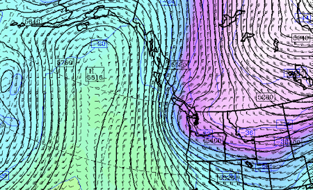
But on Friday and Saturday, an upper-level trough will move south down the eastern flanks of the big ridge, pulling cold air from northern Canada into the interior of British Columbia and then into the Pacific Northwest.
Here is the upper-level map for 7 PM Saturday. You can see the offshore ridge of high pressure, but a significant rough is moving over our region.
I have studied these snow situations for decades. This is not quite the right structure/position for major snow over the Washington lowlands, but close enough to worry.
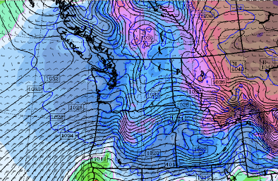
You will note a low center off the northern Oregon coast. Kind of weak, but with enough "juice" to bring snow to nearby locations. Too far south and weak to whiten Seattle....but a small error could change things.


Comments
Post a Comment